01
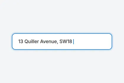
Enter a UK address
Type any postcode or full address. We match it to the exact building using Ordnance Survey geocoding.
How it works
From address to answer in about 60 seconds — using 14+ official UK data sources.
01
Type any postcode or full address. We match it to the exact building using Ordnance Survey geocoding.
02
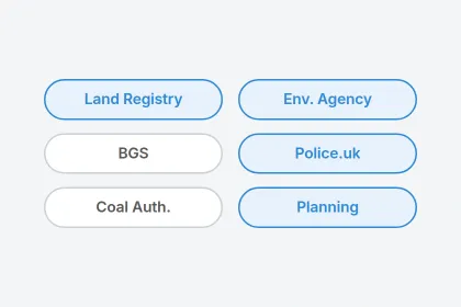
In about 60 seconds we pull data from major UK registries and bring it together into one clear, cited report.
03
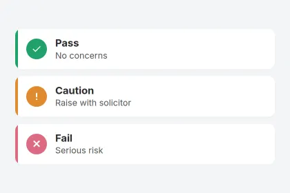
An indicative Pass, Caution or Fail for each area — with the risks to note and the questions worth asking, in plain English.
Seven areas, each with its own indicative status and the data behind it.
Environment Agency flood zones, surface-water signals and historic flooding for the area. Flood data can be modelled or area-level.
British Geological Survey indicators for subsidence, shrink-swell clay and nearby former mining. An indicator, not a structural assessment.
Planning records identified near the address from available data. No record identified is not the same as no planning issue.
Police.uk area-level crime patterns and category mix. Street-level data is approximate and area-based — not specific to the property.
Ofcom coverage indicators for the postcode. Indoor coverage can vary — worth confirming with providers.
Nearby schools and catchment context, to read alongside the local authority’s own admissions information.
HM Land Registry sale history and how the price compares to the street. Land Registry data can lag and is postcode-matched.
Moov is an early-stage information tool. It’s powerful for spotting what’s worth a closer look — but it has clear limits, and we’d rather be straight about them.
Know before you offer
Get the available picture on any UK property in about 60 seconds.